Our team conducted a comprehensive road inventory and condition assessment in Cluster 1 Counties using QGIS-based geospatial tools. The objective was to help Road Agencies to make informed, data-driven decisions for road maintenance and infrastructure planning.
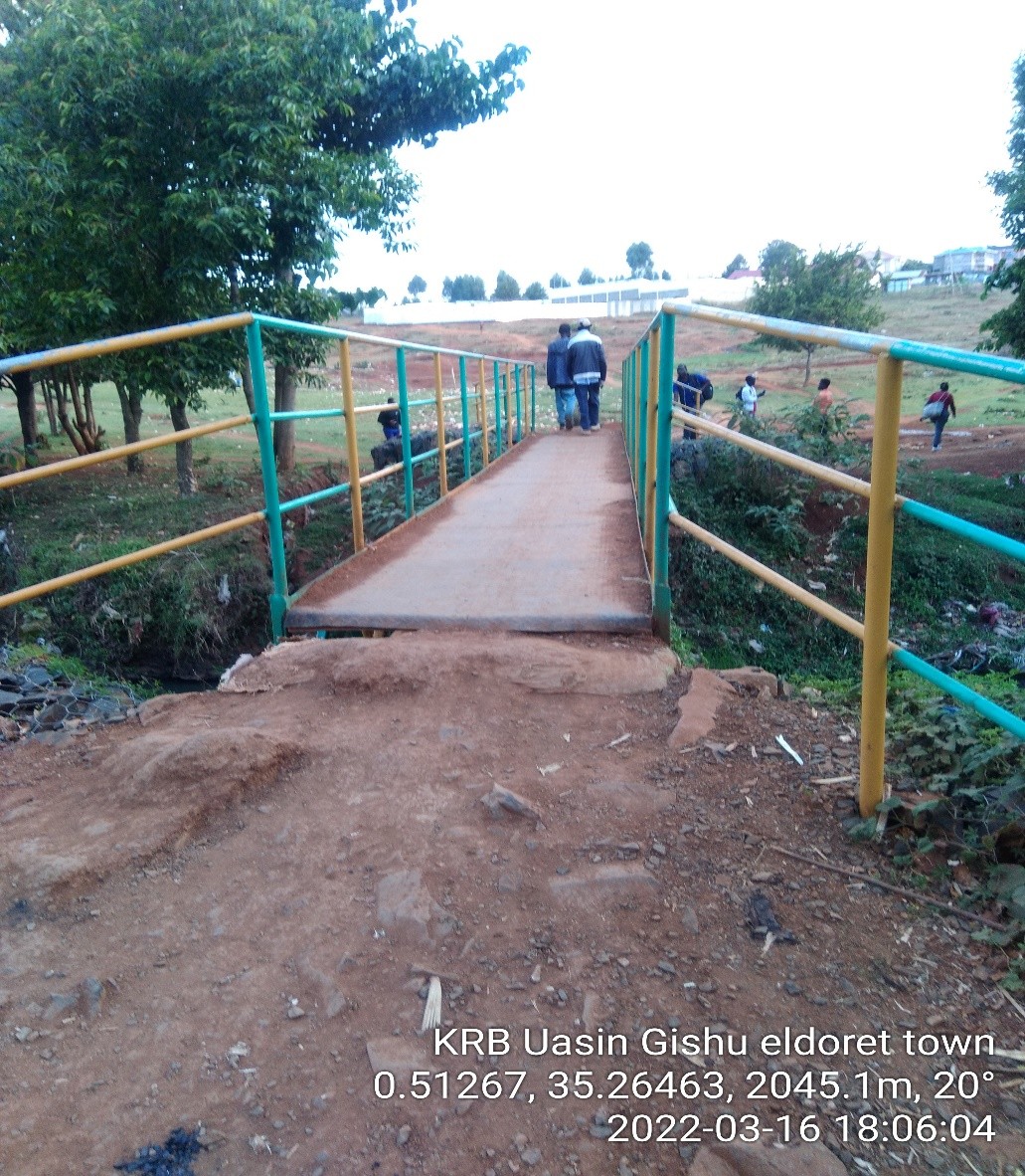
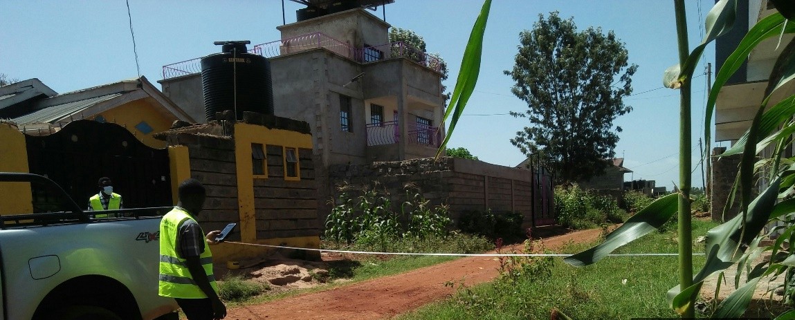
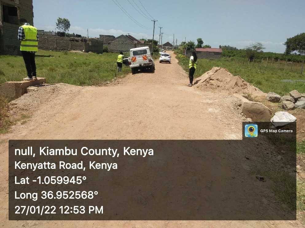
Location: Project involved 10 counties – Nairobi, Nakuru, Uasin Gishu, Nyahururu, Kiambu, Elgeyo Marakwet, Turkana, Baringo, Laikipia and Samburu
Client Needs:
- A reliable, up-to-date road inventory
- Classification of road segments by surface type and condition
- Easy-to-interpret visualizations for maintenance prioritization
- A scalable, low-cost GIS approach that can be replicated across other counties
Our Approach
Using QGIS, our GIS and civil engineering team developed a streamlined workflow to collect, process, and visualize road condition data:
Data Collection:
- Mobile GPS tracking using QField
- Road condition ratings: Good, Fair, Poor
- Surface type: Bitumen, Gravel, Earth
- Drainage and shoulder status
- Geotagged photographs of each road segment
GIS Mapping & Analysis:
- Integrated field data into QGIS for spatial analysis
- Classified roads using symbology for quick visual insight
- Created heat maps of deteriorating segments
- Overlaid road data with critical infrastructure (schools, health centers) for impact analysis
Reporting:
- Delivered detailed PDF maps and interactive web maps
- Generated actionable road maintenance priority lists
- Provided a replicable QGIS template for future surveys